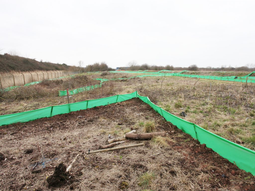
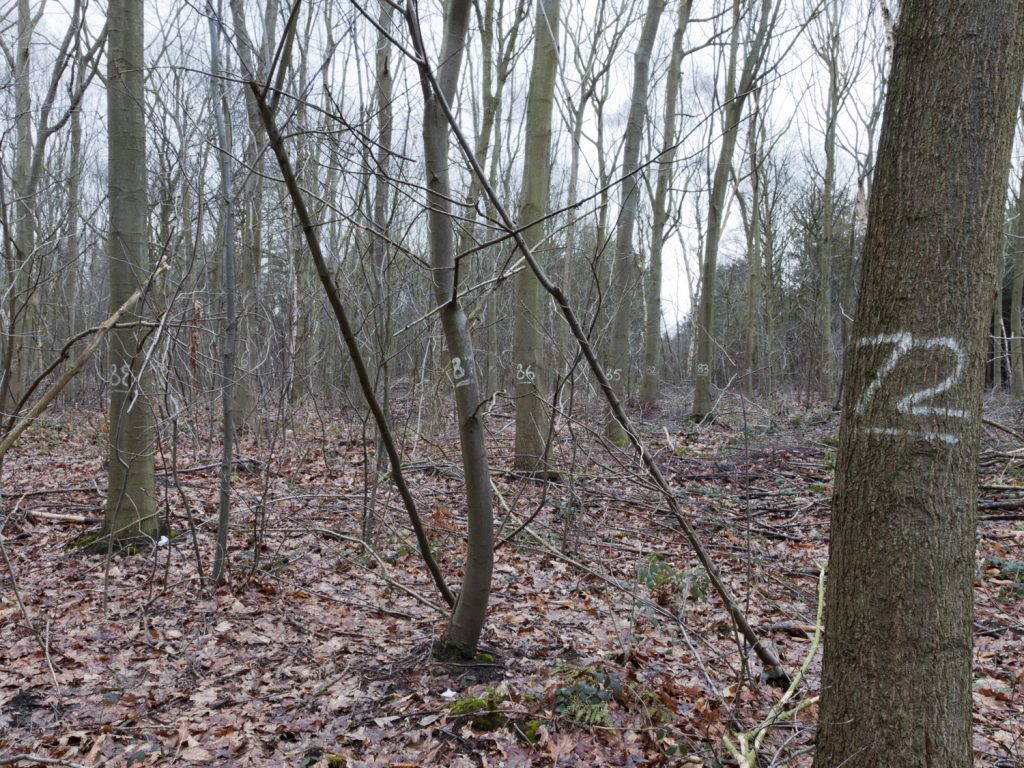
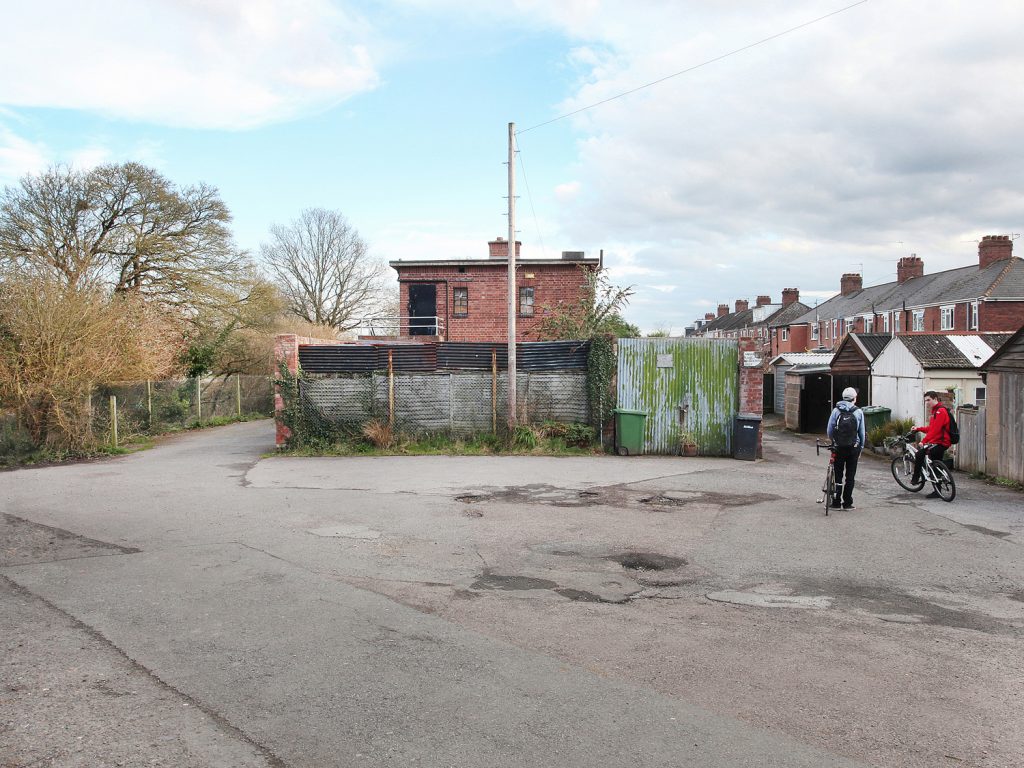
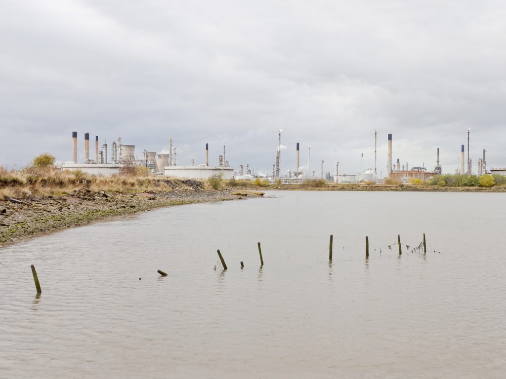
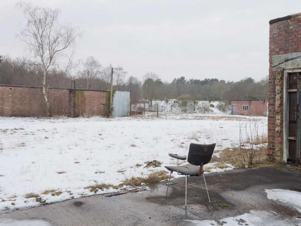
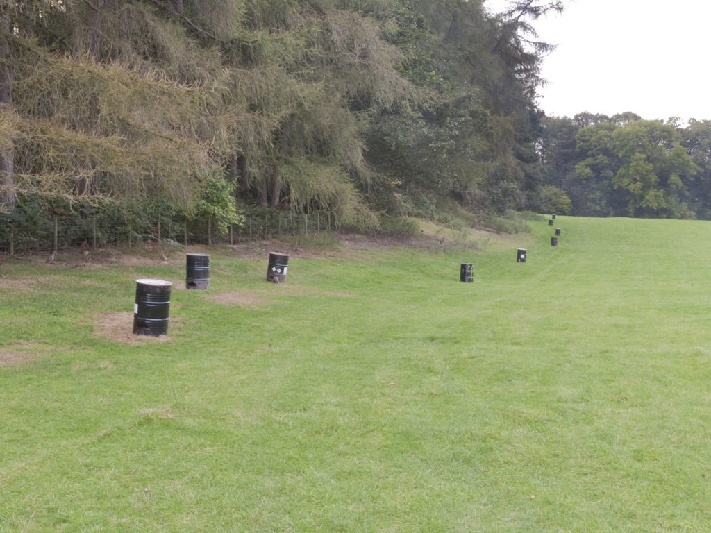
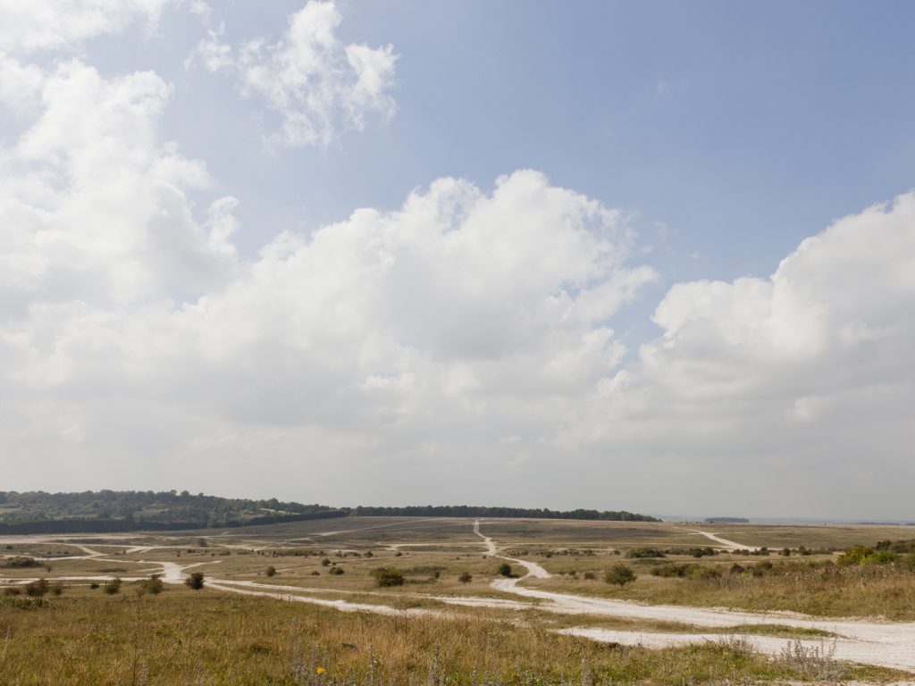
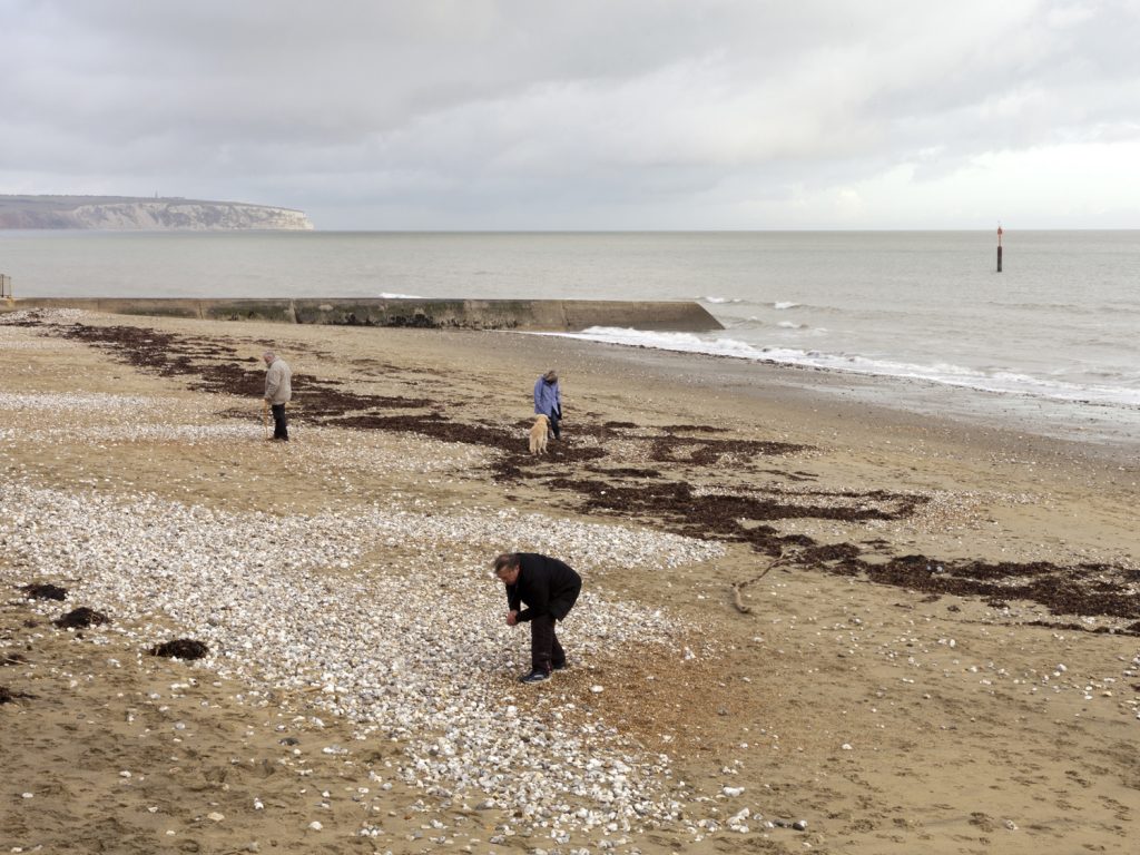
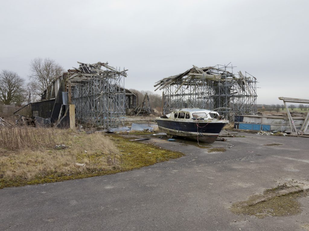
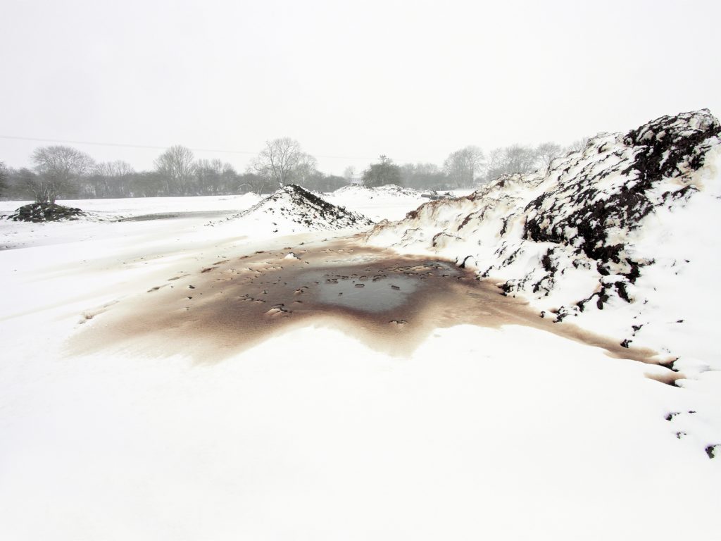
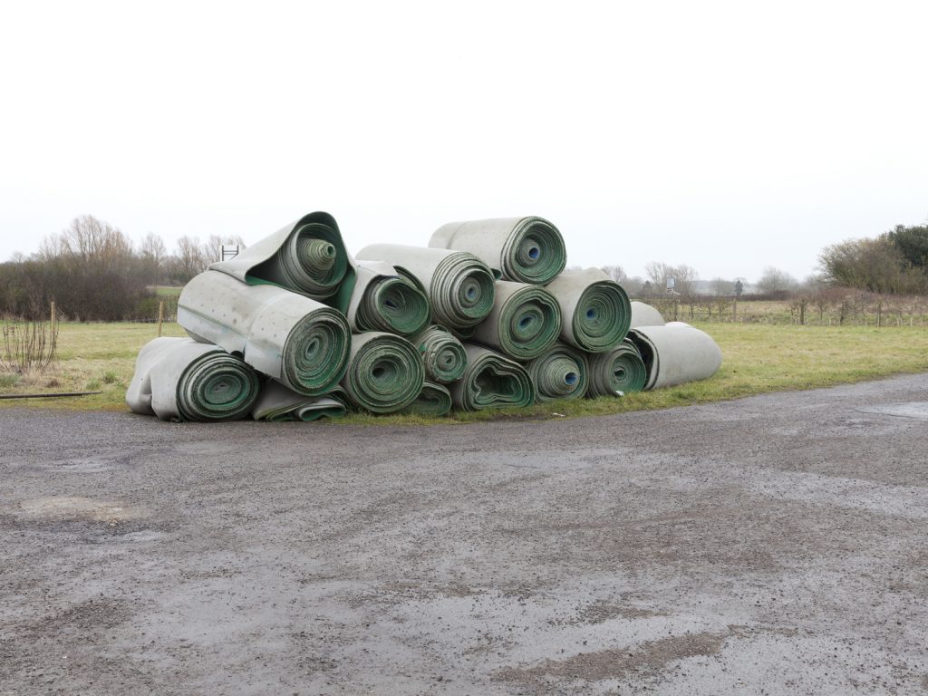
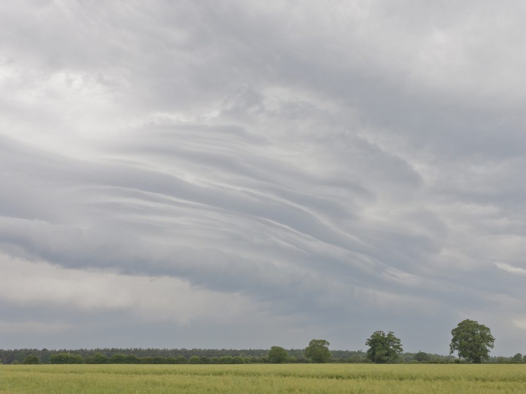
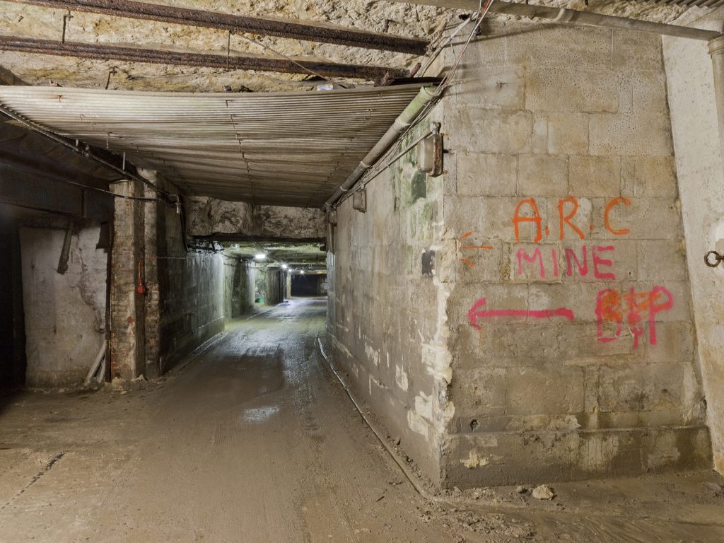
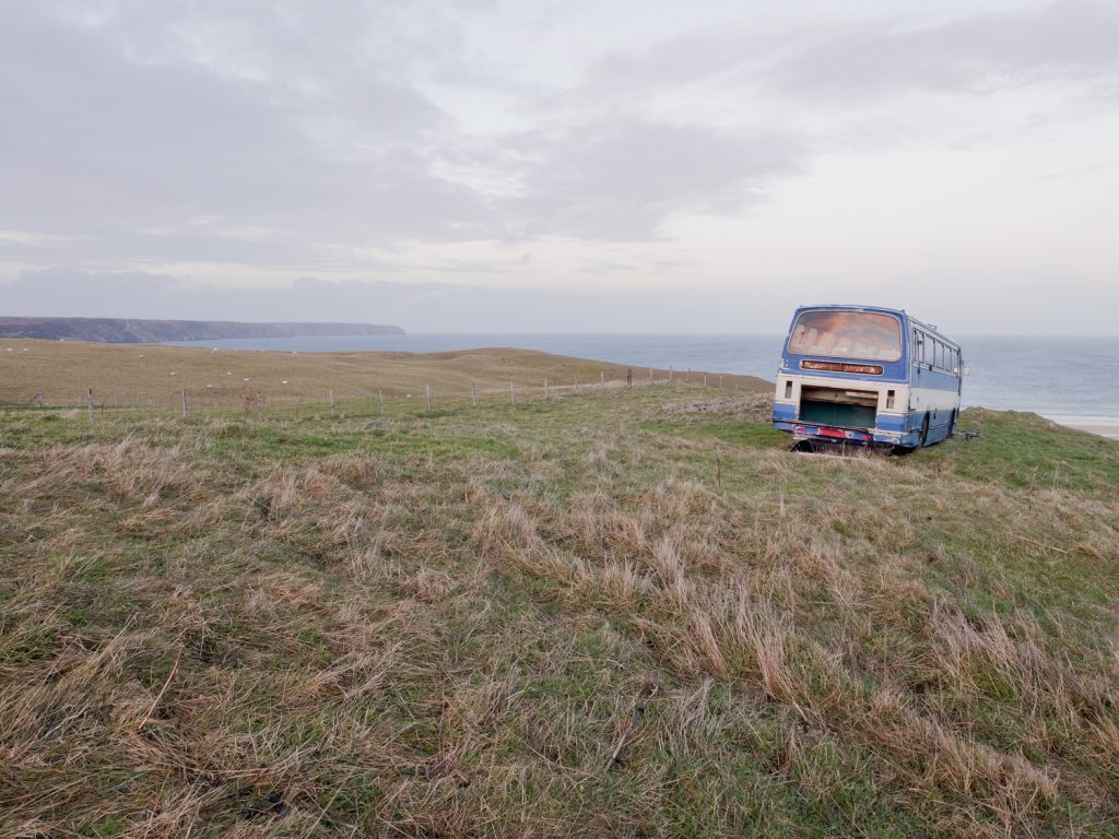
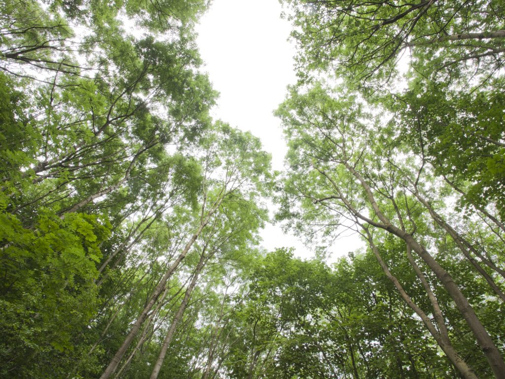
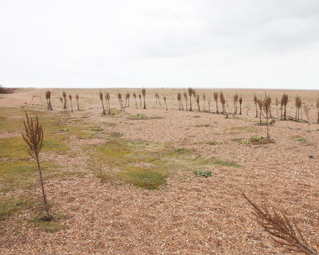
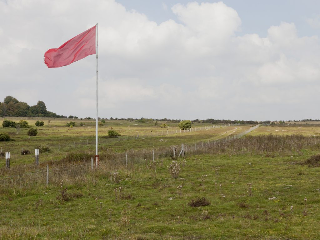
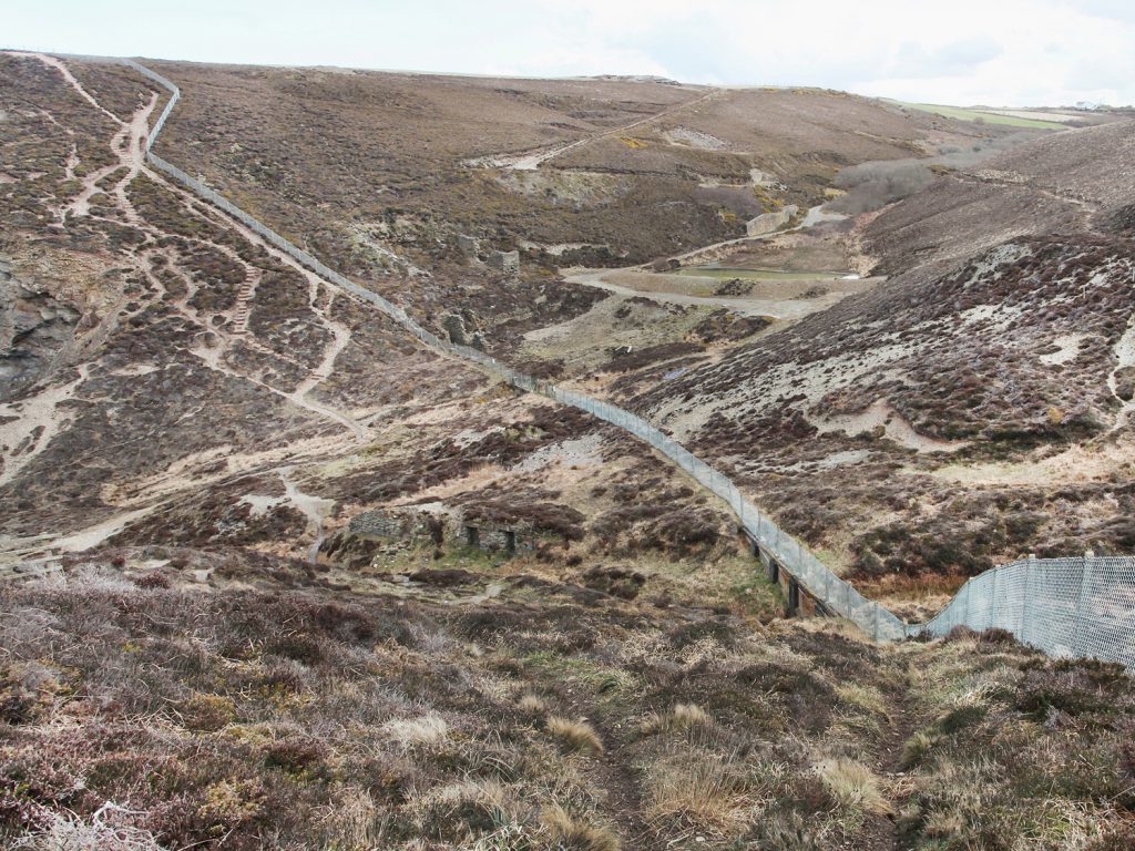
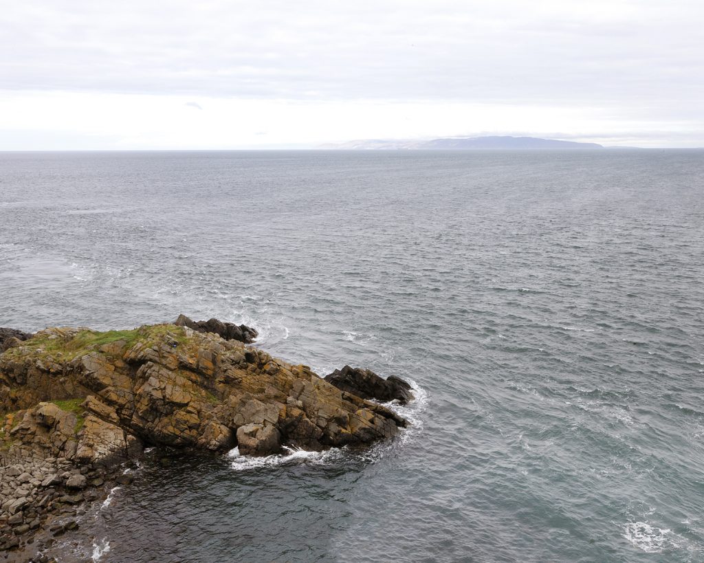
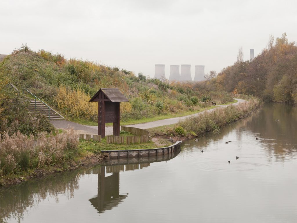
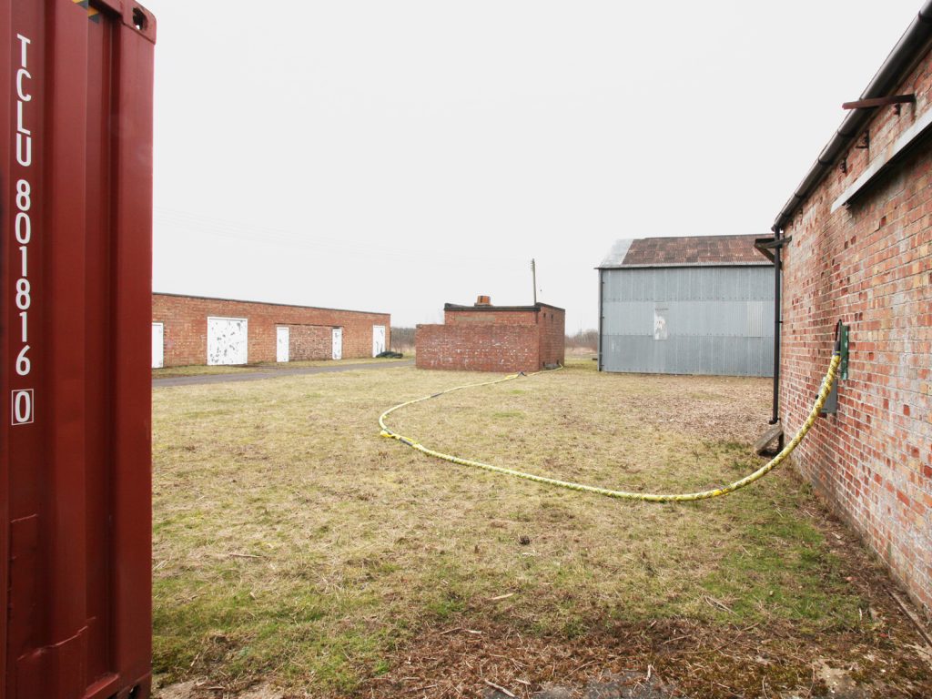
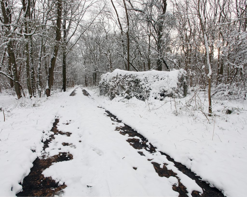
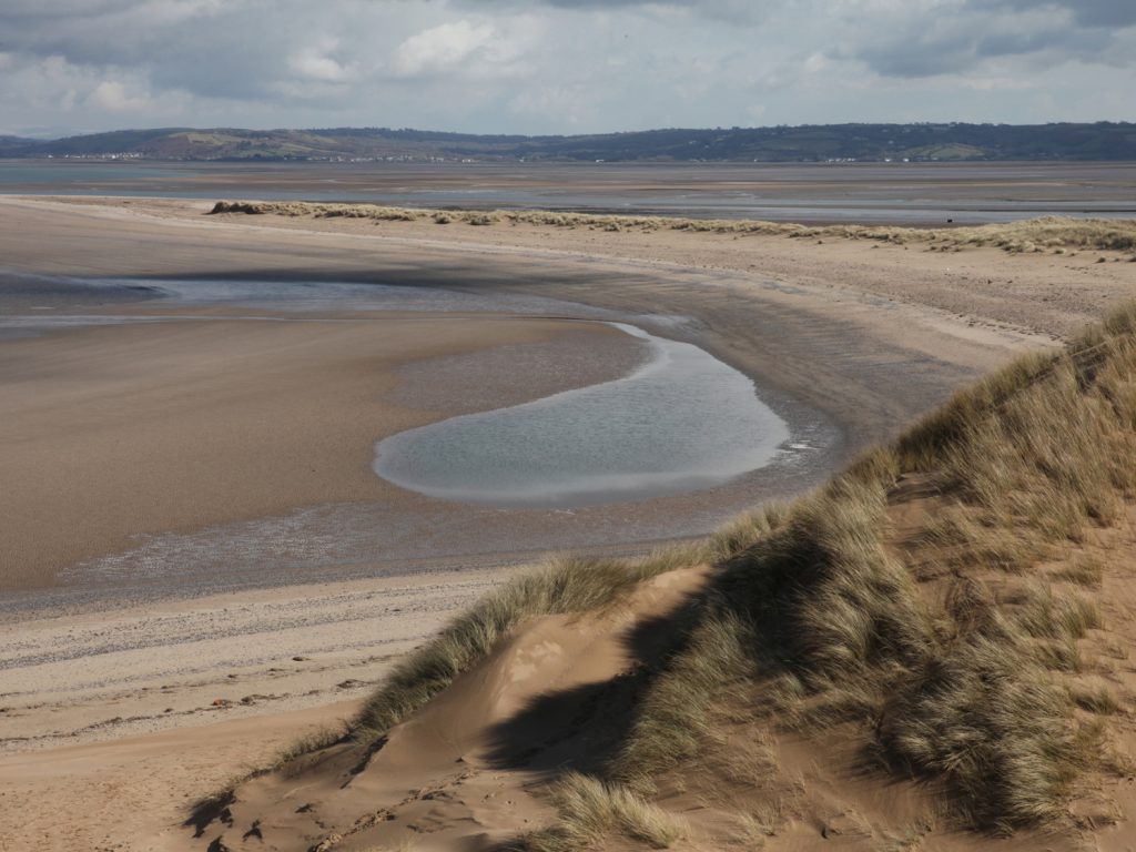
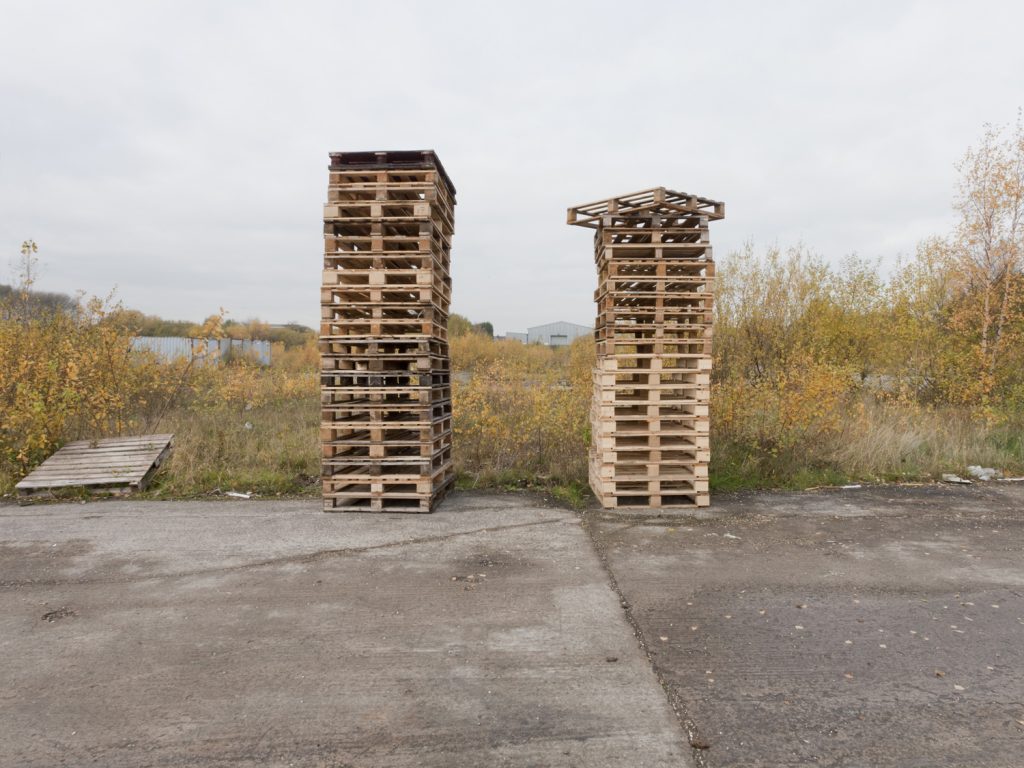
Project Cleansweep is a photographic survey and investigation into the legacy and landscape of the chemical and biological weapons program in the United Kingdom over the last century. Documenting over 80+ sites and focusing on 4 that were key sites/events. The project explores the sites that were used in the manufacture, testing, storage and disposal of these weapons
Avonmouth Bristol 2012
Worksop Nottinghamshire 2012
Whipton Devon 2012
Grangemouth Falkirk 2012
Little Heath Suffolk 2013
Woodside Flintshire 2014
Tidworth Wiltshire 2014
Sandown Bay Isle of Wight 2014
RAF Yatesbury Wiltshire 2015
Kimbolton Cambridgeshire 2012
RAF Hullvington Wiltshire 2015
Norwich Norfolk 2015
Westwood Wiltshire 2014
Stornoway Isle Of Lewis, Outer Hebrides 2013
Nidd Valley, North Yorkshire, 2015
Shingle Street Suffolk 2013
Porton Down Wiltshire 2013
Nancekuke Cornwall 2013
Beaufort Dyke Irish Sea 2014
Wigg Island Merseyside 2013
Lords Bridge Cambridgeshire 2012
Riseley Befordshire 2012
Pen-Clawdd Swansea 2012
St Helens Merseyside 2013
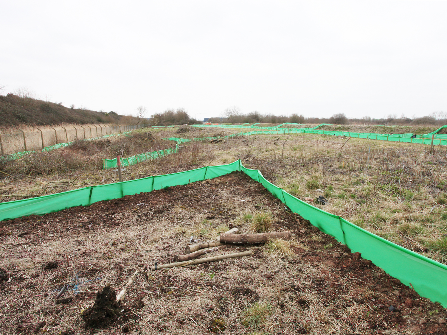
Avonmouth Bristol 2012
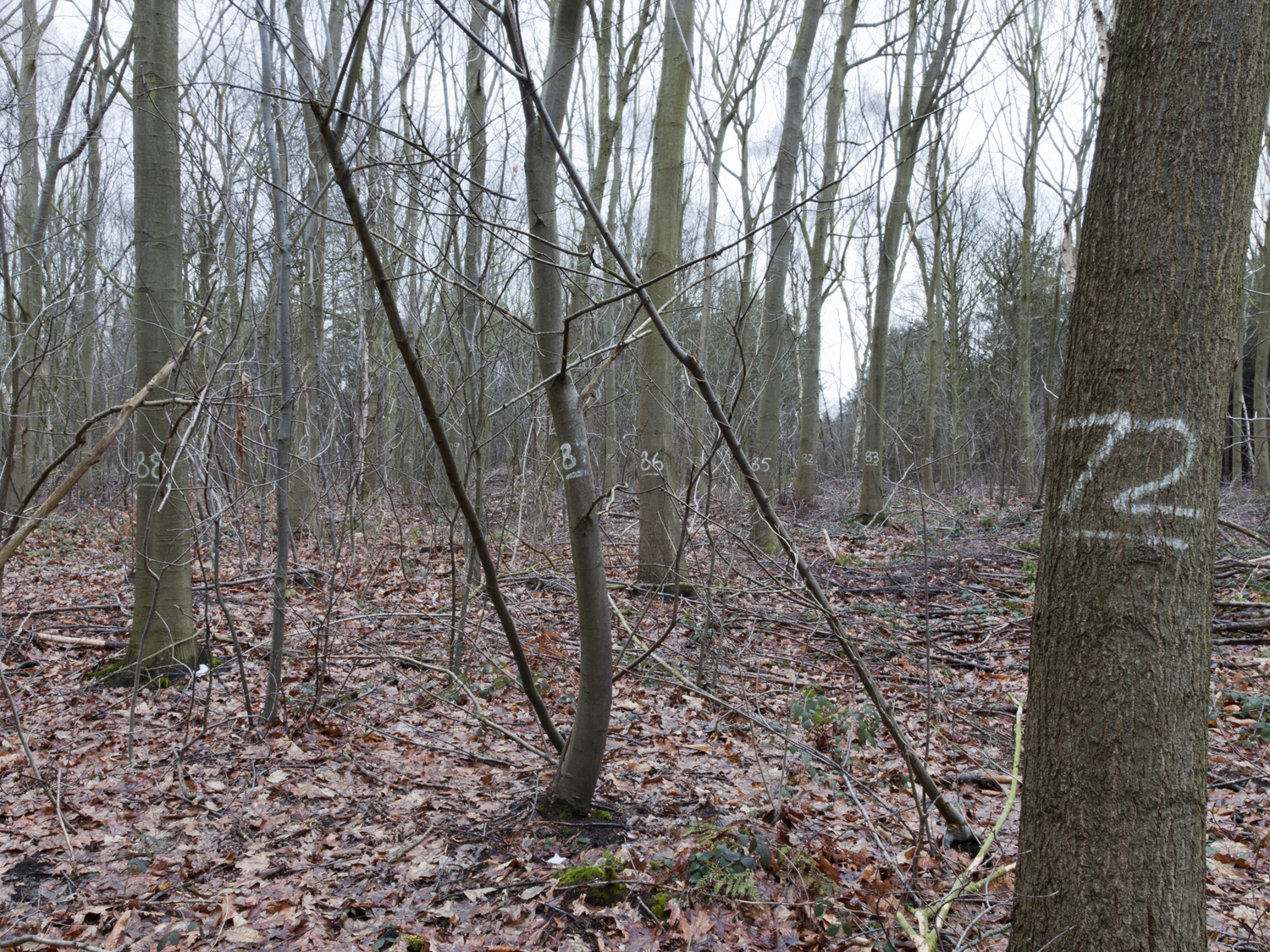
Worksop Nottinghamshire 2012
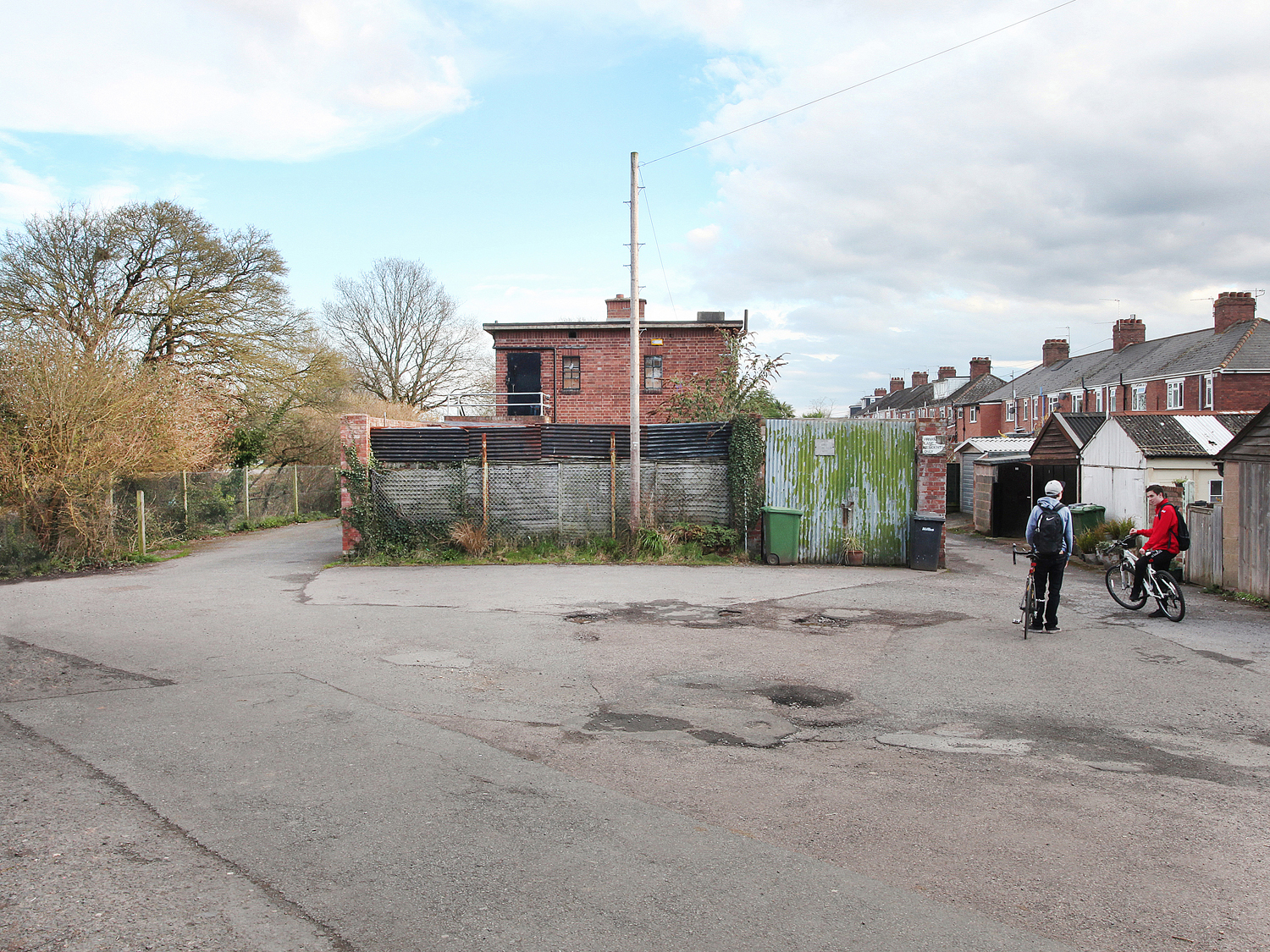
Whipton Devon 2012
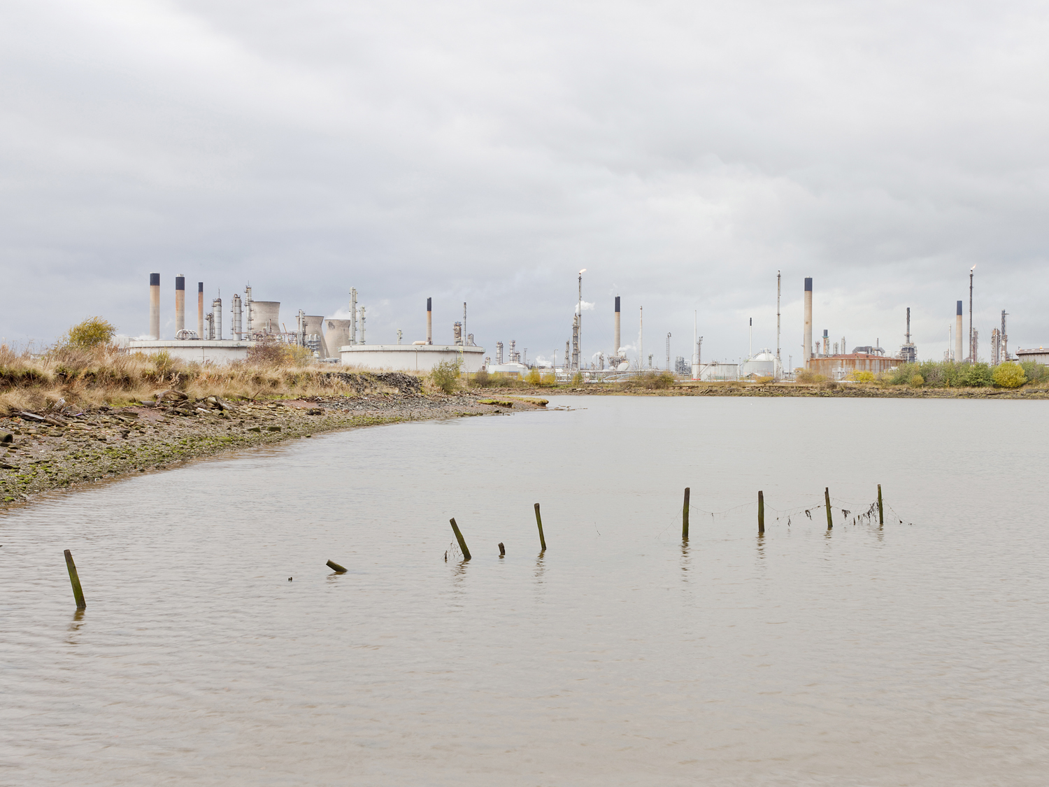
Grangemouth Falkirk 2012
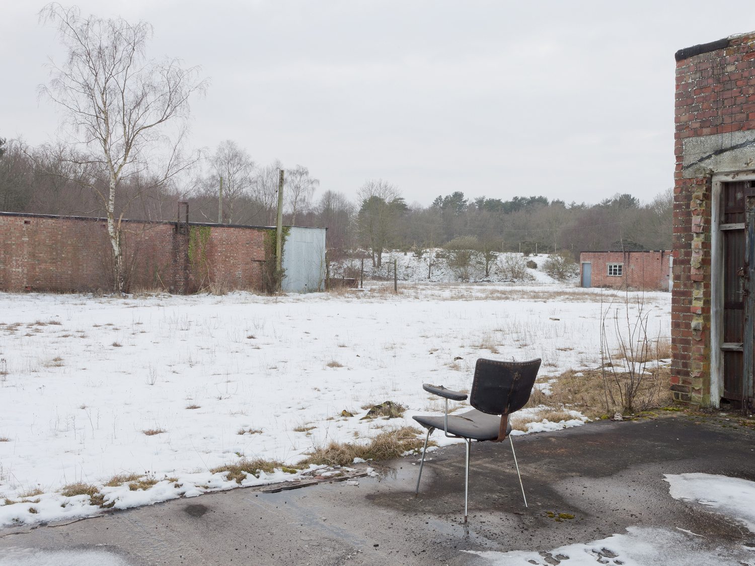
Little Heath Suffolk 2013
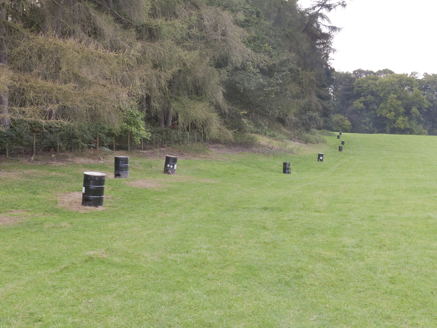
Woodside Flintshire 2014
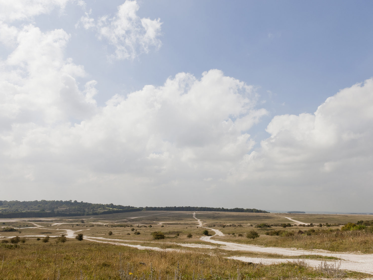
Tidworth Wiltshire 2014
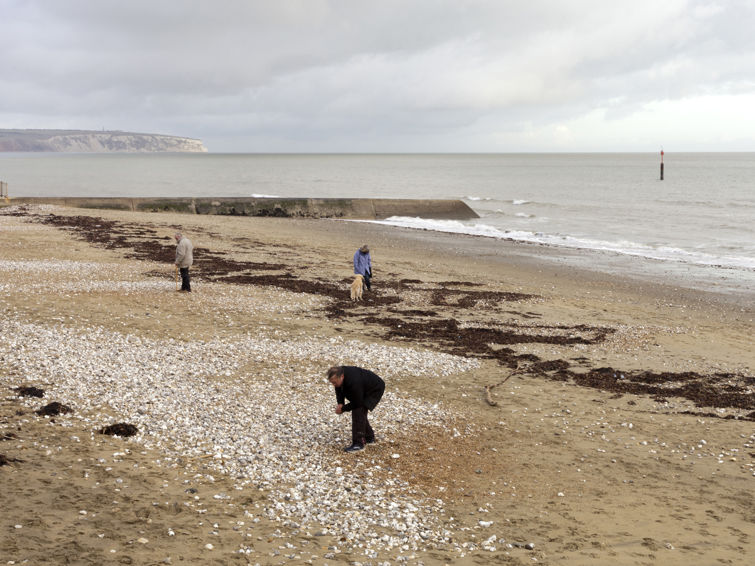
Sandown Bay Isle of Wight 2014
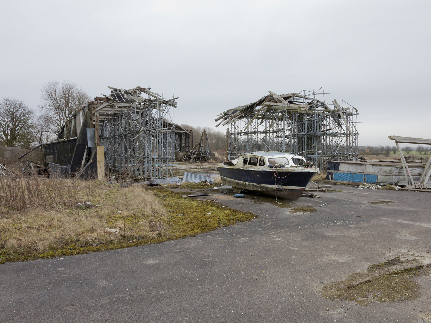
RAF Yatesbury Wiltshire 2015
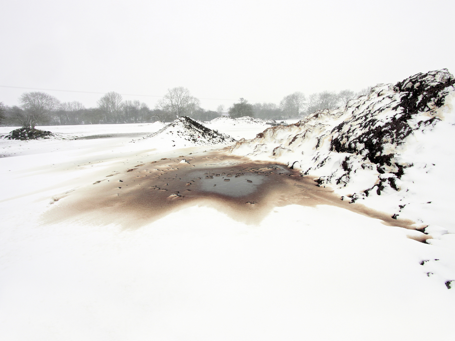
Kimbolton Cambridgeshire 2012
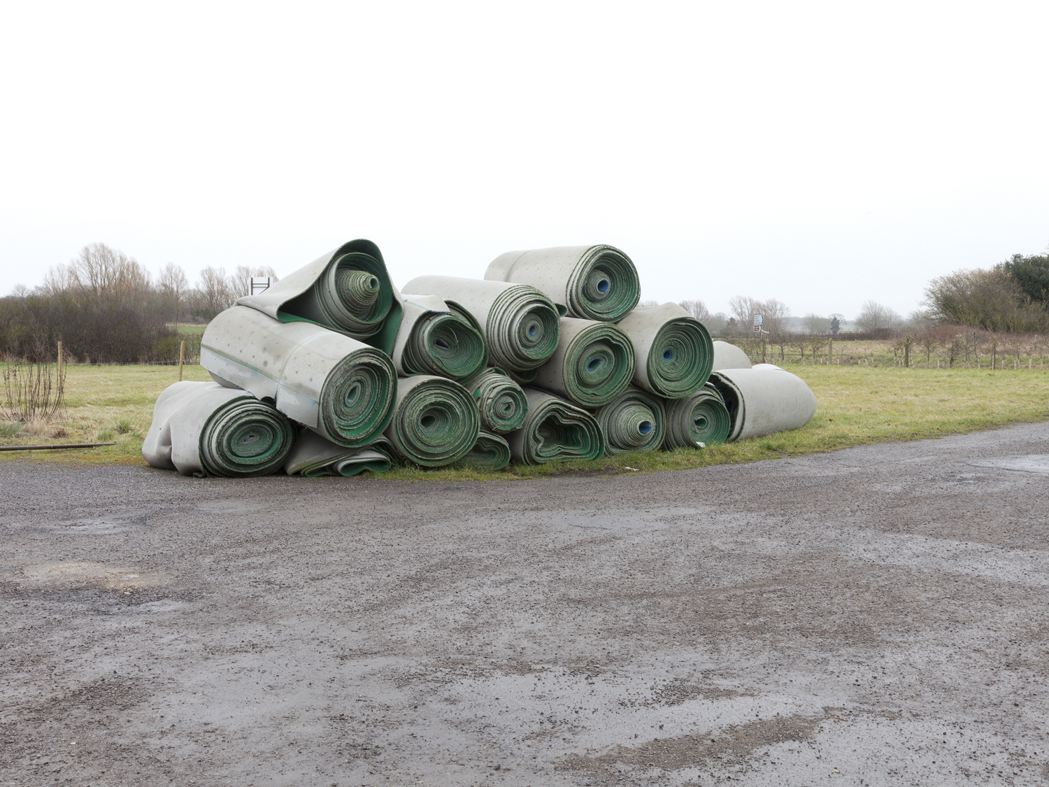
RAF Hullvington Wiltshire 2015
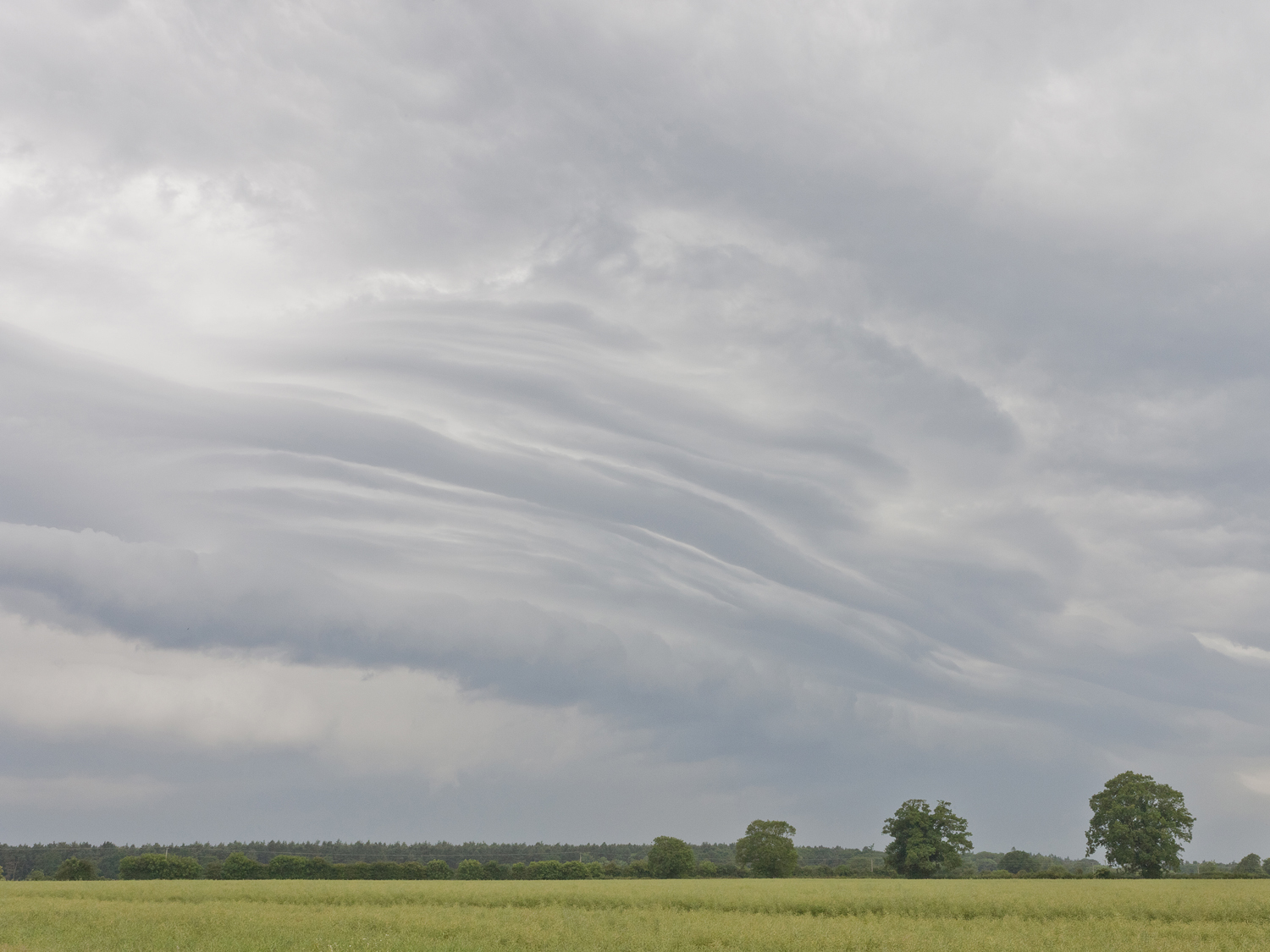
Norwich Norfolk 2015
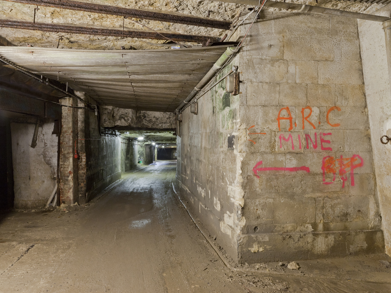
Westwood Wiltshire 2014
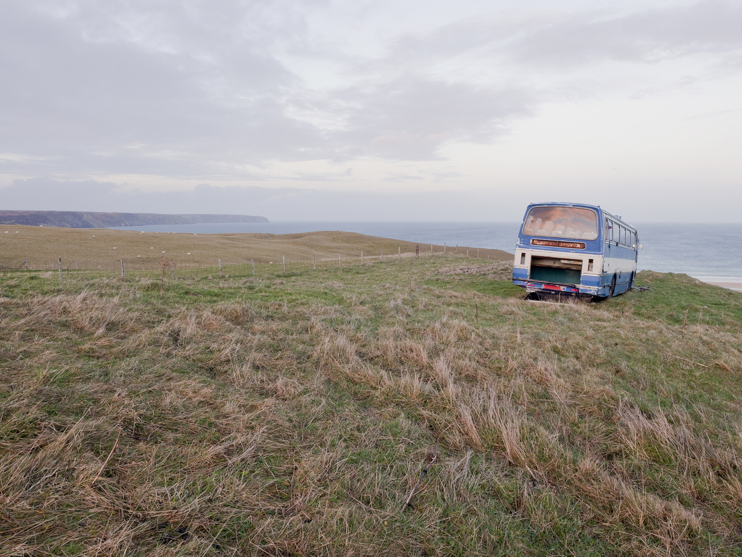
Stornoway Isle Of Lewis, Outer Hebrides 2013
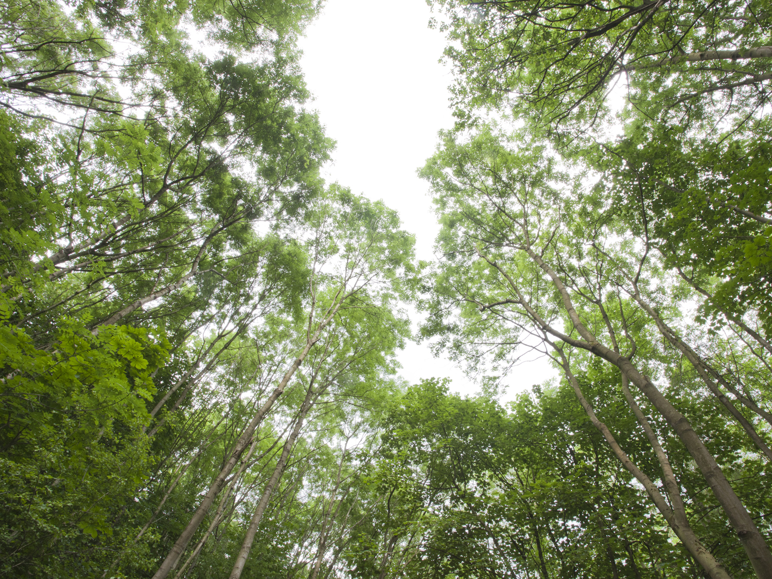
Nidd Valley, North Yorkshire, 2015
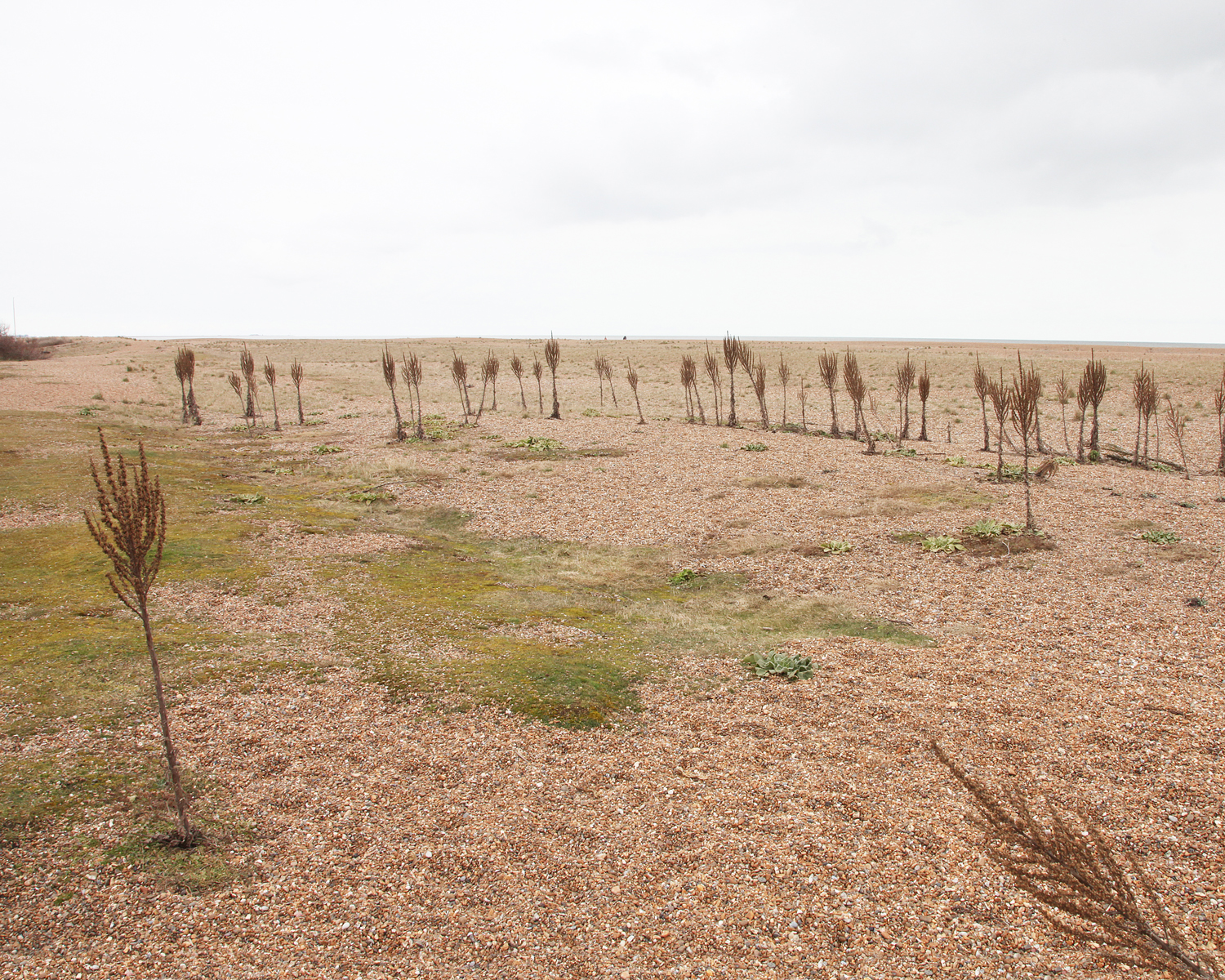
Shingle Street Suffolk 2013
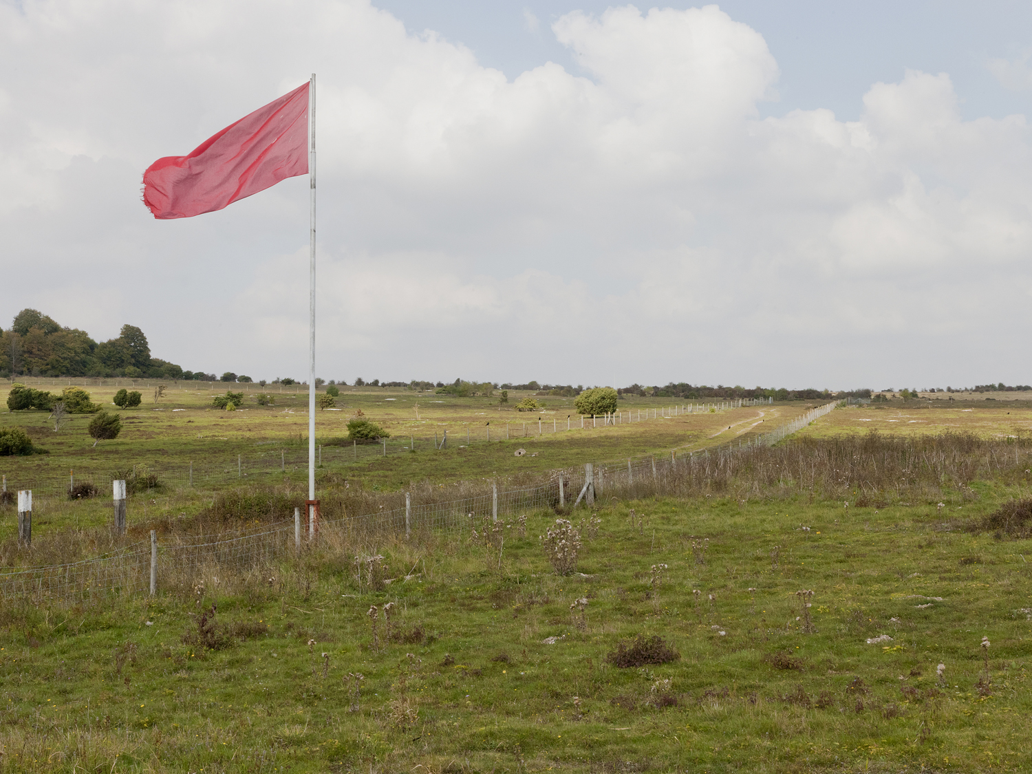
Porton Down Wiltshire 2013
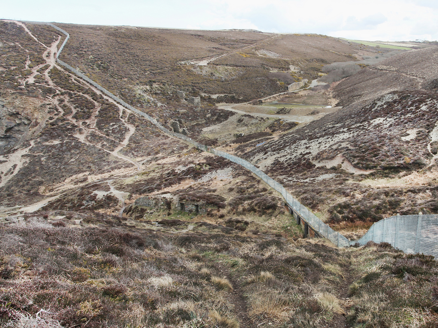
Nancekuke Cornwall 2013
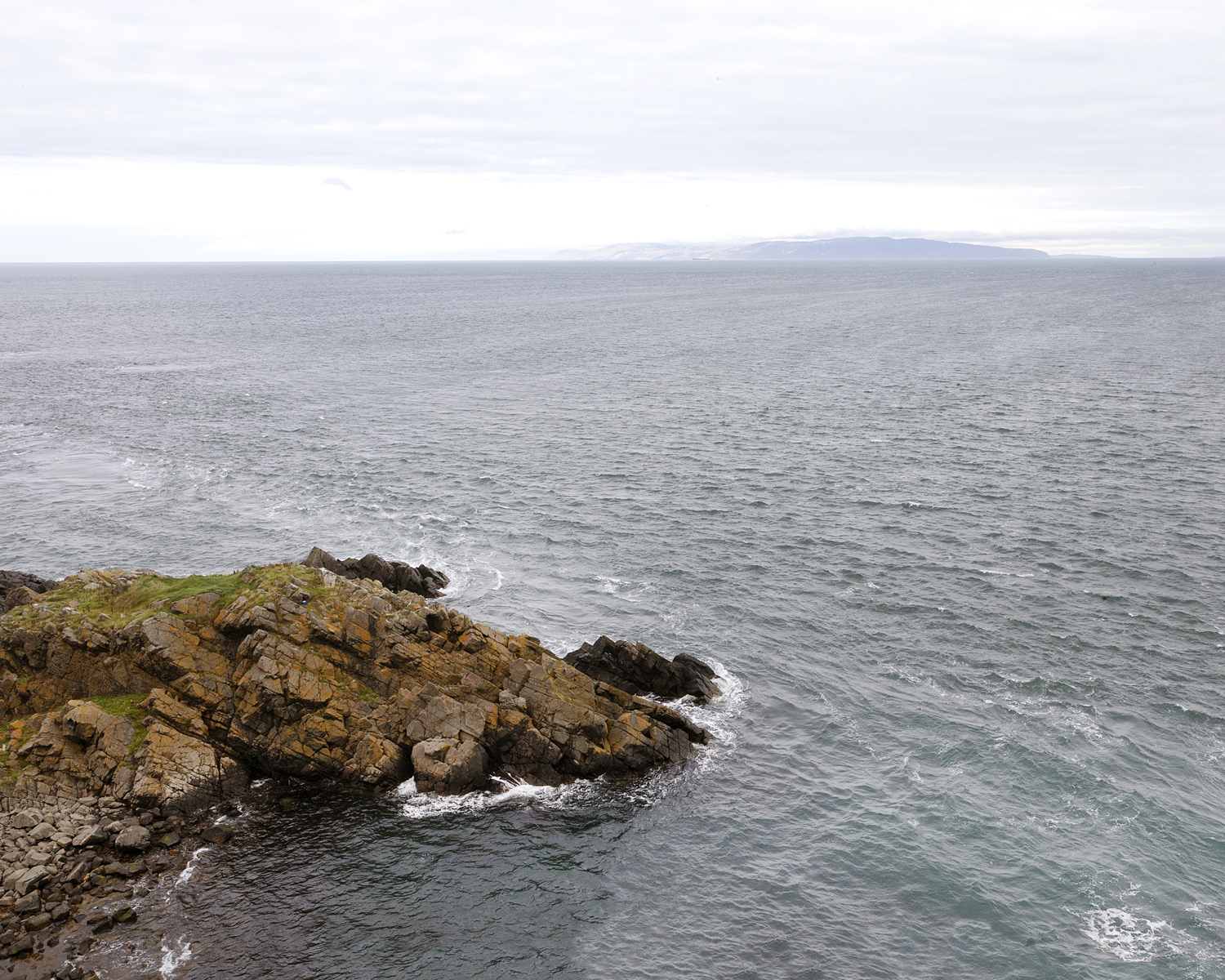
Beaufort Dyke Irish Sea 2014
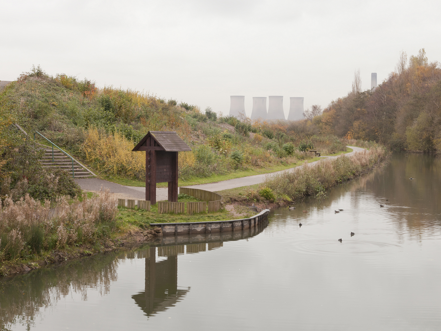
Wigg Island Merseyside 2013
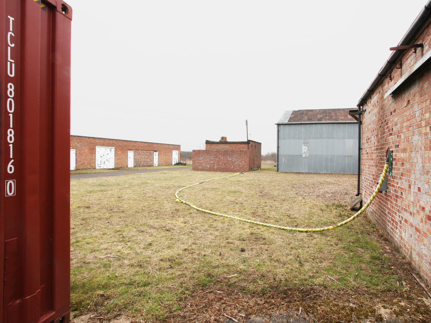
Lords Bridge Cambridgeshire 2012
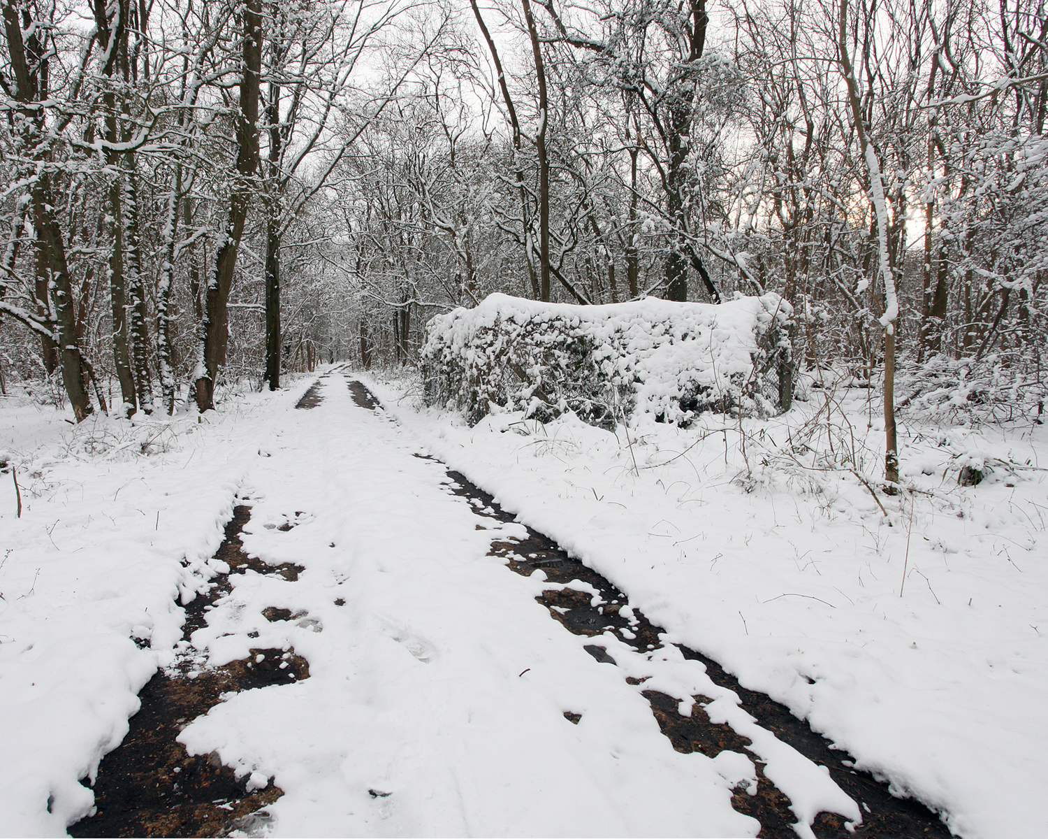
Riseley Befordshire 2012
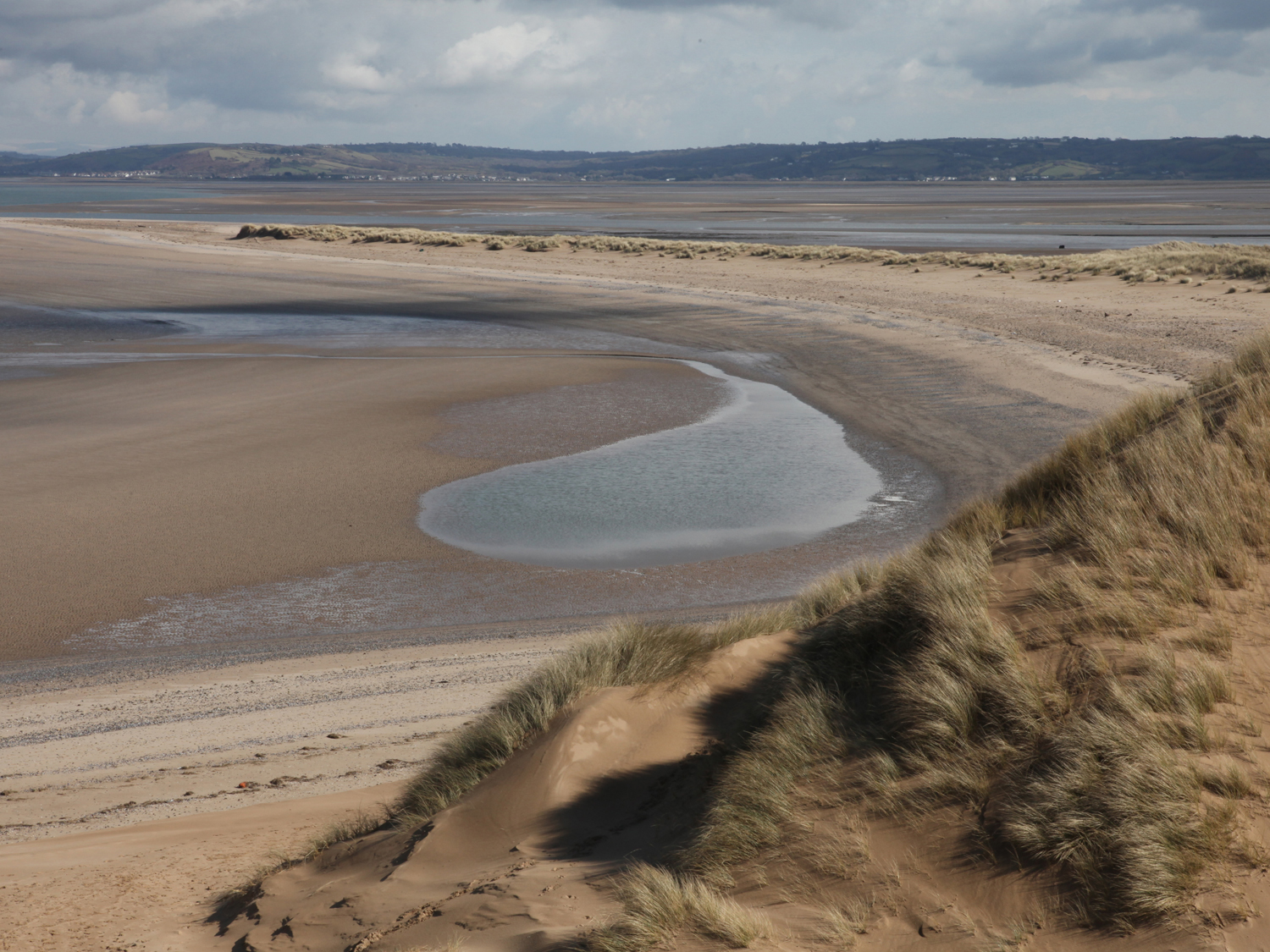
Pen-Clawdd Swansea 2012
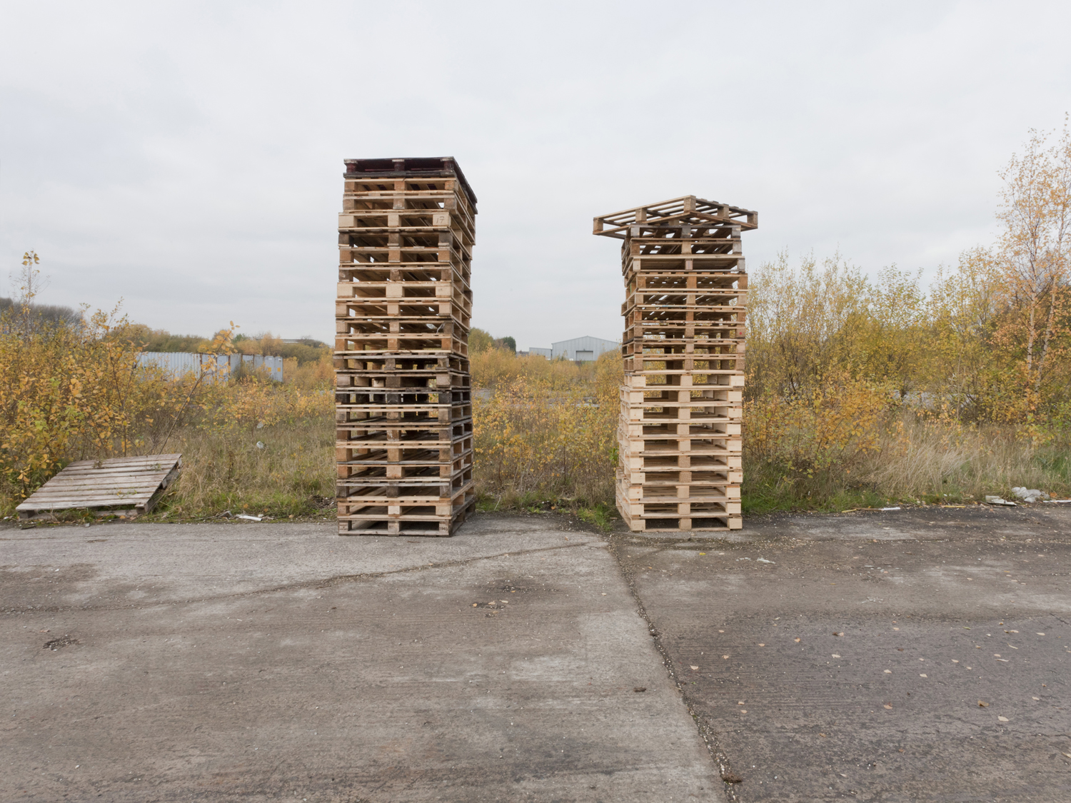
St Helens Merseyside 2013
Beyond the Post-Military Landscape of the United Kingdom Taking its name from a Ministry of Defence investigation issued in 2011, that assessed the risk of residual contamination at sites in the United Kingdom used in the manufacture, storage, and disposal of chemical weapons from World War I to the present day. Looking beyond the risk assessment to the ways that landscapes are psychologically charged by their history. Examining the sites of the official investigation and many more including sites used for both chemical and biological weapons activities during the Cold War. Following traces that lead, predictably, to military bases and government facilities and, more surprisingly, to grocery stores and holiday parks. The images take us into a journey along the country lanes of Dorset and Devon, the Peak District, the woodlands of Yorkshire and out across the open rolling countryside of the Salisbury Plain, all the way from the coastlines of East Anglia, the West Counties and Wales to the remote Scottish Highlands and the Irish Sea. When over 4,000 sq km of the landmass was appropriated for military use in the 20th century. Marking the influence of military activities upon British landscapes and provoking deeper consideration of their lasting social and environmental impacts. Locating unexpected vistas that challenge conventional understandings of place. They also remind us that war is domestic, one that employs thousands of people in production processes that are surely akin to activities in other contemporary industries. As we recognise the inheritances of the past, the places pictured here become interstitial; they seem to exist between past and present, public and private, civilian and military. Here, too, the pastoral myths of the bucolic British landscape — of simple nature, a golden past — are disrupted by material realities embedded in the landscape itself. As we contemplate these images, our perspectives shift, and yet a different kind of beauty persists.
Project Cleansweep at Belfast Exposed- 2017
Project Cleansweep at the Roscommon Arts Centre-2017
Project Cleansweep at The Library Project, as part of New Irish Works II June 2016
Project Cleansweep at FotoHof, Salzburg- Irish Contemporary Photography April 2016
Project Cleansweep at the Gallery of Photography, Dublin 2015. Solas Awards
